Ancienne embarcadère de Sablanceaux Nature Reserves in Rivedoux-Plage

  • English
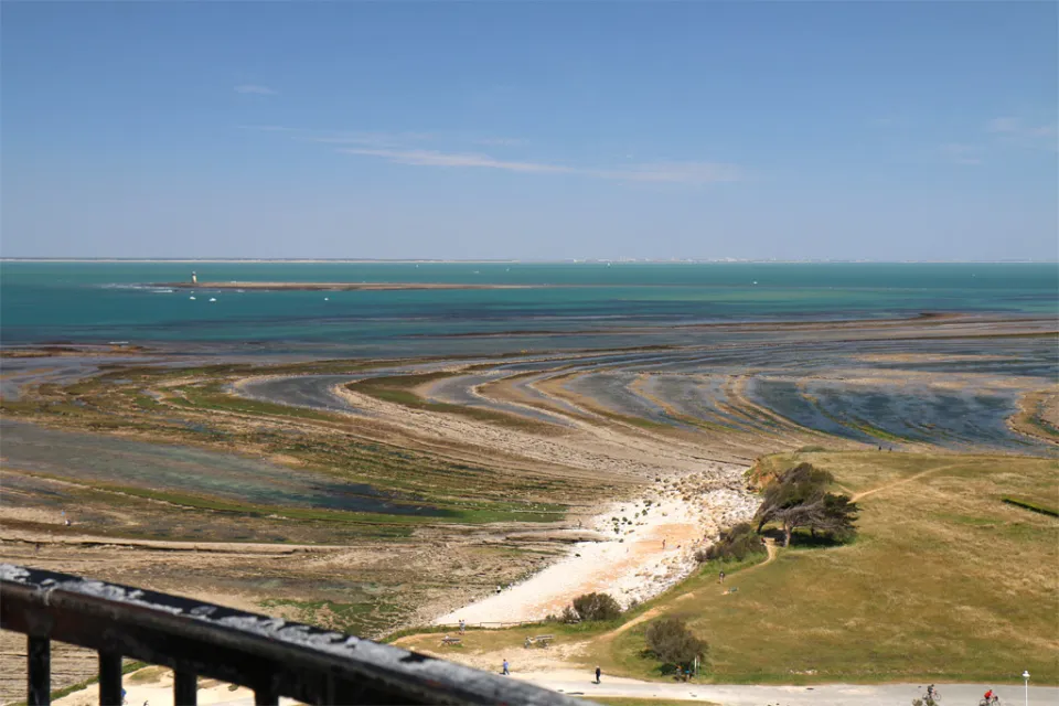
    • Located at the tip of Rivedoux-Plage, the former Sablanceaux pier was, for more than a century, the only maritime gateway linking the island of Ré to the mainland.

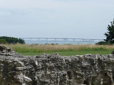
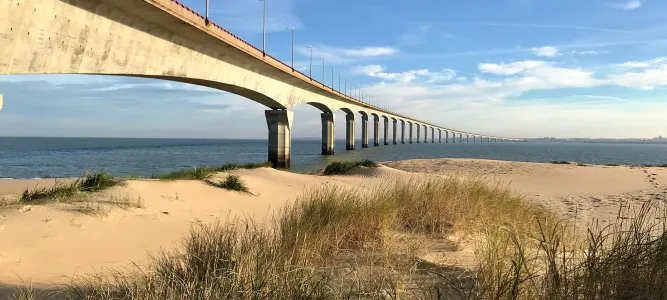
      Before the bridge's inauguration in 1988, the crossing from La Rochelle was made aboard steamships, then the famous ferry crossings. For generations of travelers, disembarking on this slipway at the foot of the Vauban redoubt marked the poetic beginning of their holidays, despite the legendary summer queues under the sun.

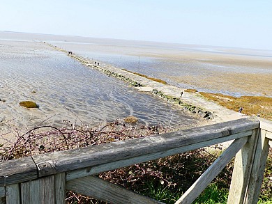
      Today, while the opening of the bridge has definitively put an end to the ferry traffic, the Sablanceaux site remains a powerful place of island memory. The old slipways and the jetty, now popular with walkers and fishermen, recall this maritime past when arriving on the island required taking one's time and letting the sea orchestrate the journey.


  • Français

Ride around

La Flotte en Ré : l'abbaye des Châteliers

La Flotte en Ré : l'abbaye des Châteliers

5,7 km - La Flotte

Walking

Esnandes : un village au bord de la réserve naturelle de la baie de l'Aiguillon

Esnandes : un village au bord de la réserve naturelle de la baie de l'Aiguillon
Esnandes : un village au bord de la réserve na ...

14,6 km - Esnandes

Walking

La Brée-les-Bains : les trois marais

La Brée-les-Bains : les trois marais

18,8 km - Saint-Georges-d'Oléron

Walking

You will like also

North beach, Rivedoux Plage

North beach, Rivedoux Plage

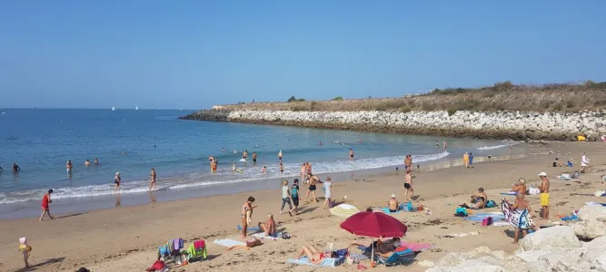
Beach for water sports and board sports, it is also popular with shore fishing enthusiasts. It is not supervised and ...

645 m - Rivedoux-Plage

Rivedoux-Plage

Rivedoux-Plage
Rivedoux-Plage

Rivedoux-Plage is the first town you come across when you arrive on the Île de Ré after crossing the famous bridge ...

1,2 km - Rivedoux-Plage

South beach Rivedoux-Plage

South beach Rivedoux-Plage

Also called the Chaussée Beach, it is supervised during the summer and good news, you can swim there all day, ...

1,6 km - Rivedoux-Plage

L'Ostréica - Dealer d'iode

L'Ostréica - Dealer d'iode

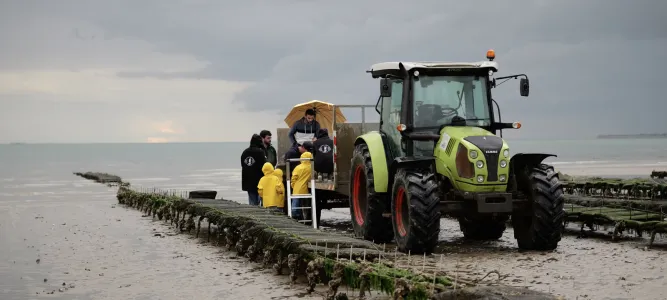
L'Ostréica takes you on an immersion tour by boat or tractor on our exploitation sites to show you our daily life. ...

2,5 km - Rivedoux-Plage

Fort La Prée

Fort La Prée
Fort La Prée

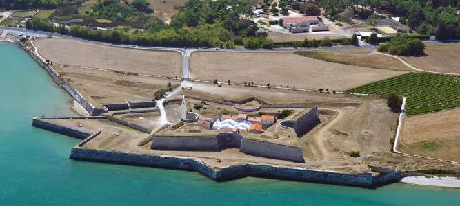
Fort La Prée was built in 1626 on the orders of Louis XIII, under the direction of the Duke of Toiras (governor of ...

3,4 km - La Flotte

loading... map preview

Ancienne embarcadère de Sablanceaux

Address

Rivedoux-Plage

GPS coordinates

46° 9'46.14"N, 1° 15'10.71"W

We tested for you

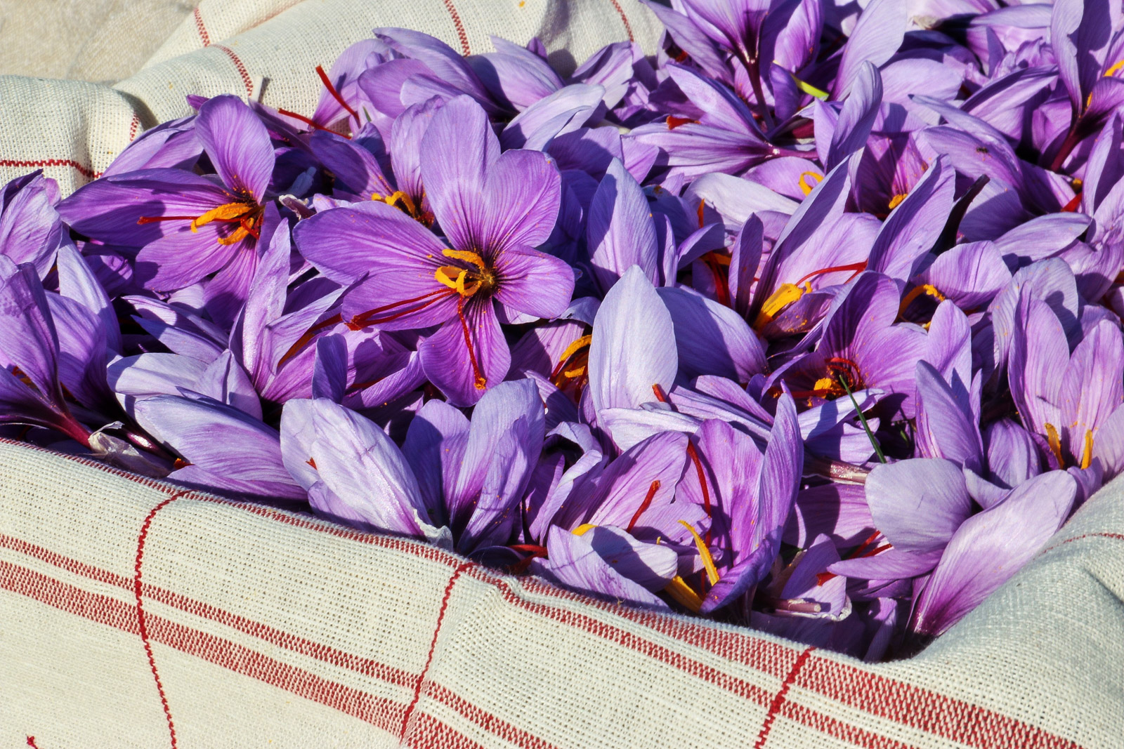
Saffron, the "Red Gold" of the Ile de Ré

Saffron, the "Red Gold" of the Ile de Ré

4,7 km - Sainte-Marie-de-Ré

A bucolic getaway and briny flavors at the Port of L’Houmeau

A bucolic getaway and briny flavors at the Port of L’Houmeau
A bucolic getaway and briny flavors at the Por ...

6,1 km - L'Houmeau

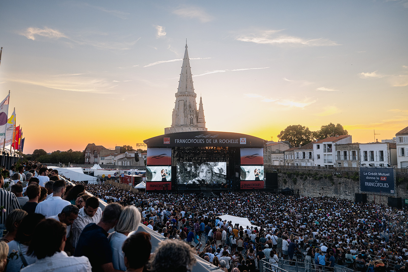
A memorable 2026 edition of the Francofolies de La Rochelle

A memorable 2026 edition of the Francofolies de La Rochelle
A memorable 2026 edition of the Francofolies d ...

7,9 km - La Rochelle

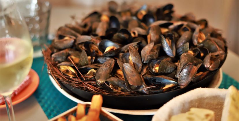
Mouclade and éclade de moules: two essential culinary traditions in Charente-Maritime

Mouclade and éclade de moules: two essential culinary traditions in Charente-Maritime
Mouclade and éclade de moules: two essential c ...

7,9 km - La Rochelle

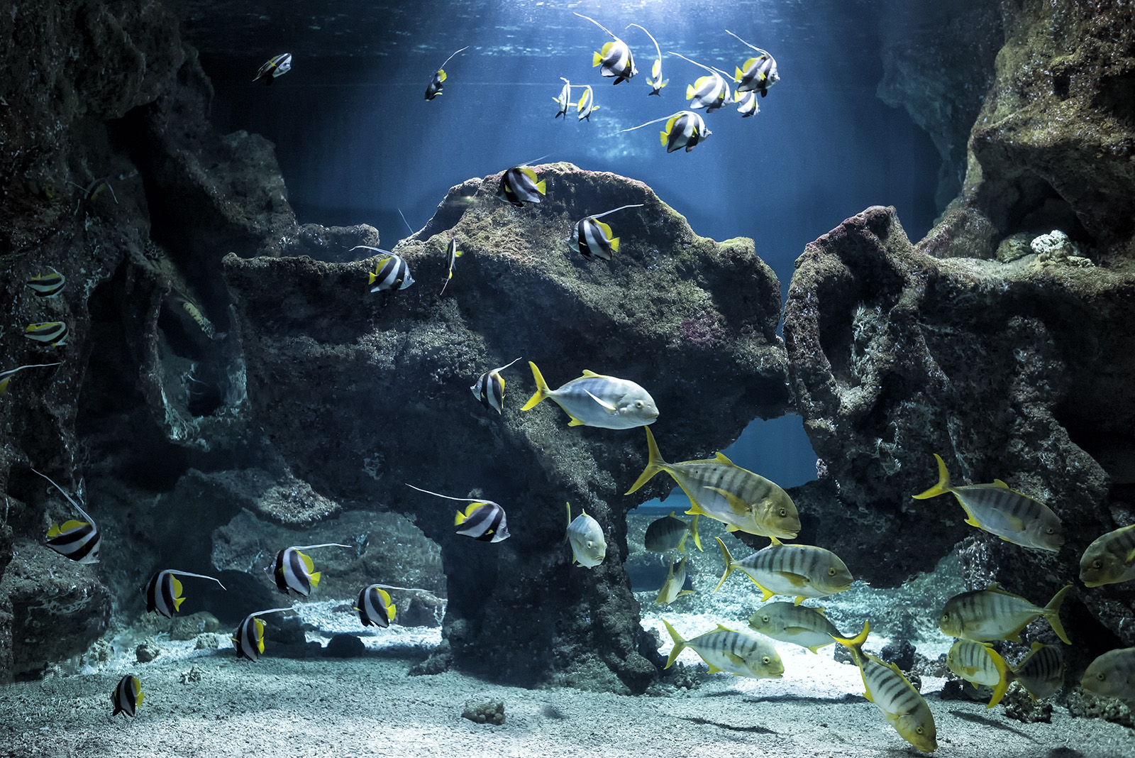
Aquarium La Rochelle: a memorable dive to the bottom of the ocean

Aquarium La Rochelle: a memorable dive to the bottom of the ocean
Aquarium La Rochelle: a memorable dive to the  ...

7,9 km - La Rochelle

You will also like

Canal de Marans

Canal de Marans
Canal de Marans

The Canal de Marans in La Rochelle connects the Sèvre Niortaise, at the level of Marans, to the Port of La ...

5,8 km - La Rochelle

Ecomusée du Marais Salant

Ecomusée du Marais Salant

On the Ile de Ré, in Loix, the Écomusée du Marais Salant retraces the history of salt farming, shows you the ...

16,7 km - Loix

Pertuis d'Antioche

Pertuis d'Antioche
Pertuis d'Antioche

The Pertuis d'Antioche is a strait formed by the Ile de Ré and the Ile d'Oléron. At the heart of Pertuis is Île ...

17,0 km - Île-d'Aix

L’Île Madame

L’Île Madame
L’Île Madame

Île Madame is located at the mouth of the Charente, between Île d'Aix and Île d'Oléron. From Port-des-Barques, ...

17,0 km - Île-d'Aix

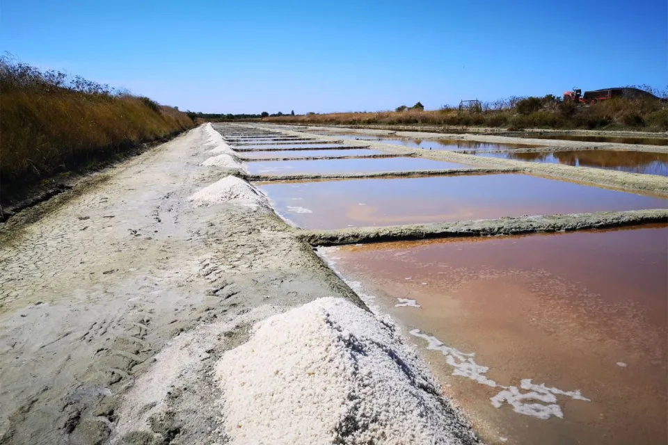
Les Marais salants de l’île de Ré

Les Marais salants de l’île de Ré

The salt marshes of the Ile de Ré are the ideal place to appreciate the atypical ecosystem of this island. Indeed, ...

17,1 km - Loix